400 turns around the Earth: what is the role of sheep and camels in creating Google maps
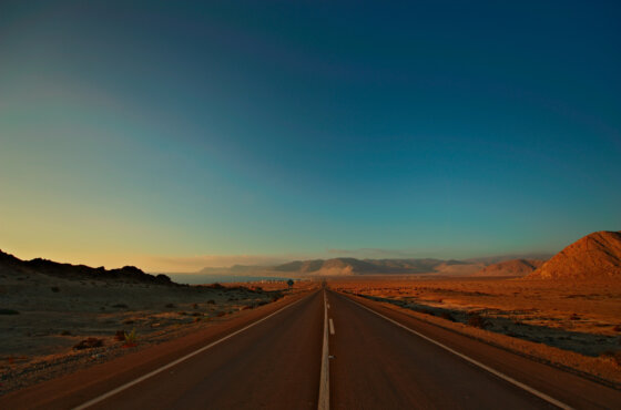
Street View mode, with which users can view pictures of city streets and landscapes from around the planet, contains 16 million km of panoramic views. This distance is 400 full circles around the Earth. Writes about it RBC.

Фото: Depositphotos
Images on Google maps are taken not only thanks to the company's cars, driving around various locations. Collecting images is not an easy task, the implementation of which takes from several days to several weeks. The process involves a fleet of vehicles equipped with nine cameras, allowing you to shoot with high definition and from anywhere. These cameras are athermal, that is, they can operate in extreme temperatures - both in the midst of the summer heat in the Death Valley, and during the winter cold in the snowy mountains of Nepal.
Each Street View photo car is associated with its own photo processing center and is equipped with lidars that use laser guidance to accurately measure the distance to objects.
In addition to four-wheeled cars, there are Street View backpacks that are fixed on boats, as well as on sheep and camel backs - yes, flocks of sheep and camels are also involved in collecting panoramic views that users enjoy from mobile devices and desktop computers.
On the subject: Hurricane Dorian and the iPhone 11: what Americans searched for on Google in 2019
In 2019 alone, with Street Map efforts and community efforts, Google Maps managed to add the addresses of seven million buildings in Armenia, Lebanon, Myanmar, Zanzibar, Zimbabwe and Bermuda.
The resulting photos are processed using the photogrammetry technique to align and combine a set of images. Thus, the most important elements appear on the panorama: marked roads, buildings, rivers, and the exact distance between the objects is indicated on the pictures. All this information is collected offline without the need for human presence.
The photogrammetry method is not new, it arose at the beginning of the 10th century, but Google’s approach to it is unique. In essence, Street View is a giant puzzle game that spans the globe. For XNUMX years, Google’s photogrammetry technique has improved so much that it can now align images from several sources: Street View, aerial photographs, and satellite photos to the nearest meter.
The Street View project came about thanks to Google co-founder Larry Page, who proposed the idea in 2004. His plan was to create a 360-degree map of the world that would allow you to “walk” along the streets, highways, mountains and attractions of the whole world without leaving your home.
Read also on ForumDaily:
'Deletes data': Google has issued a warning for Chrome users
Google Parking Van: How IT Professionals Live in San Francisco
Hurricane Dorian and the iPhone 11: what Americans searched for on Google in 2019
Google Maps captures your every move: how to remove this information
Subscribe to ForumDaily on Google NewsDo you want more important and interesting news about life in the USA and immigration to America? — support us donate! Also subscribe to our page Facebook. Select the “Priority in display” option and read us first. Also, don't forget to subscribe to our РєР ° РЅР ° Р »РІ Telegram and Instagram- there is a lot of interesting things there. And join thousands of readers ForumDaily New York — there you will find a lot of interesting and positive information about life in the metropolis.


