May be a hurricane by the weekend: tropical storm Gonzalo formed in the Atlantic Ocean
Tropical Storm Gonzalo, a record-breaking early storm named "G", could be a hurricane this weekend (July 25-26) before reaching the Windward Islands. Writes about it Weather.
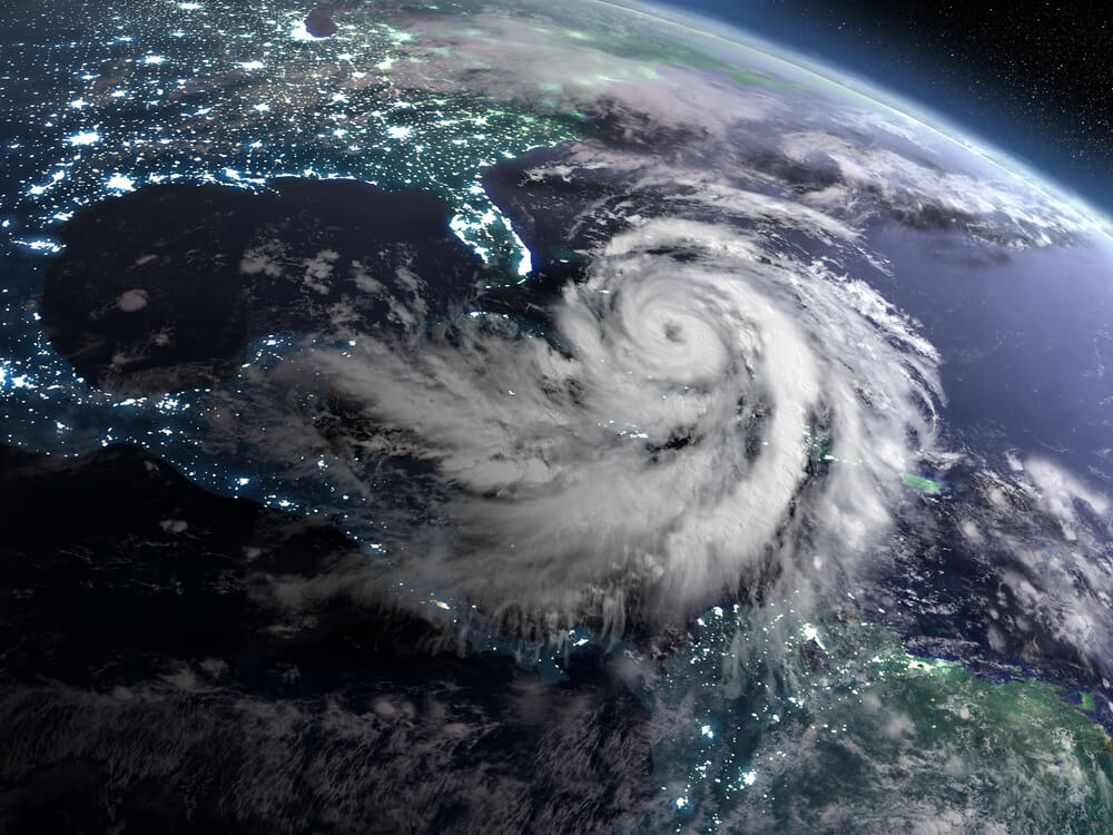
Photo: Shutterstock
Tropical Storm Gonzalo has formed in the Atlantic Ocean between Africa and the Lesser Antilles and may affect parts of the Windward Islands this weekend (July 25-26).
The storm is located over 1000 miles (1 km) east of the southern Windward Islands and is heading west.
According to Phil Klotzbach, a scientist at Colorado State University, Gonzalo is the first-ever seventh named tropical storm recorded in the Atlantic Basin. The previous seventh named storm was Geert, July 24, 2005.
Gonzalo's tiny size and environment pose a major challenge in predicting its future intensity.
Dry air west and north of Gonzalo is one factor that can weaken or destroy a tropical cyclone.
However, there is ample warm deep ocean water ahead of Gonzalo's path, and is generally warmer than average at this time of year.
On the subject: Hurricanes, floods, fires: which US states are most prone to natural disasters
Additionally, Gonzalo is a tiny tropical storm. Small tropical storms like this can intensify quickly in the right conditions, but they can also become stronger and faster than a major storm. In other words, they can strengthen and weaken much more and faster than normal storms.
Thus, the range of results for forecasting intensity is large, from a storm that remains weak or dissipates east of the Windward Islands to a possible hurricane.
Luckily, forecasting a storm's path is a little simpler. By Saturday, July 25, it will head to the Windward Islands, and on Sunday, July 26, to the eastern Caribbean.
Residents of the Lesser Antilles, including areas such as southern Trinidad and Tobago, and even the northern coast of Venezuela, should keep a close eye on Gonzalo's progress as he might hit them.
First in the main formation region
Gonzalo is the first tropical storm of the season to form in the so-called “main formation region” of the Atlantic Ocean between Africa and the Lesser Antilles.
This is a sign that the active months of hurricane season are approaching, when tropical storms and hurricanes can form not only in the Gulf of Mexico, off the southeast coast or in the western Caribbean, but also in this main formation region, making a huge route through the Atlantic Basin. ...
Read also on ForumDaily:
Hurricanes, floods, fires: which US states are most prone to natural disasters
Hurricane Season: Despite Early Records, 98% of Storm Activity Still Ahead
Subscribe to ForumDaily on Google NewsDo you want more important and interesting news about life in the USA and immigration to America? — support us donate! Also subscribe to our page Facebook. Select the “Priority in display” option and read us first. Also, don't forget to subscribe to our РєР ° РЅР ° Р »РІ Telegram and Instagram- there is a lot of interesting things there. And join thousands of readers ForumDaily New York — there you will find a lot of interesting and positive information about life in the metropolis.


-
Where in the USA to buy the medicines we are used to: a list of pharmacies5330
-
Six ways to cut your medical bill in the US436
-
Joy to Work: 37 Jobs with Lowest Stress and Good Pay419
-
What folk remedies treat the common cold in the USA: what surprises our354
-
Personal experience: why immigrants have more chances of success in the USA than Americans290
-
Burger Arthritis: How Fast Food Triggers Autoimmune Diseases233
-
XNUMX stunning US lavender farms that will take you to French Provence220
-
Actions in a terrorist attack: how to survive yourself and help others6333
-
Where in the USA to buy the medicines we are used to: a list of pharmacies5330
-
How to hit the jackpot: tips from a man who won the lottery 7 times4898
-
Life after death: what happens to places of mass executions in the USA3883
-
How to start a profitable business in the USA, if you have only $ 203281
-
4 US Social Security Traps and How to Avoid Them1493
-
Street, avenue, boulevard or drive: how to understand the classification of US streets and roads1461