An anomalous snow storm has come to the USA. PHOTO, VIDEO
A long snow storm brought precipitation to some regions of America from 6 to 12 inches (15-30 centimeters). And this was enough to set several records.
This storm was not a typical snowstorm - a northeast one, traditionally accompanied by noticeable snowfall (in January 2016 such a blizzard was called Snowzilla, and in February 2010 - Snowmaggedon), writes The Washington Post. The snow cover, which covered the States at the weekend, was the result of a more subtle interaction of weather elements, which took place in stages.
Steady snowfall now at US Capitol.#WinterStormGia pic.twitter.com/98I9uoJibs
- Dave Malkoff (@malkoff) January 13, 2019
The current storm was dubbed "Snurlough" due to the heavy snowfall that coincided with the federal government's extended holiday. Like the American shutdown, this storm had a sustained and prolonged intensity, with snowfall reported at Reagan National Airport for 35 straight hours, from 15:00 pm Saturday to 2:00 am Monday.
❄️ Snow continues to fall. At least 10 inches of accumulation in Rockville, Maryland. #SnowStorm2019 #Snow ? pic.twitter.com/DeKJTObzSc
- Shomari Stone (@shomaristone) January 14, 2019
Snow began to fall in various parts of the country mid to late Saturday evening and continued to fall into Sunday morning with 4 to 6 inches (10-15 cm). There was a short break on Sunday afternoon, allowing road crews to clear main and secondary roads and people to dig out their cars, clear paths and driveways and just get outside.
Roads are much better late this afternoon thanks to daylight and temps> 32 °. This is I-270 west of St. Louis. Another 1-2 "possible tonight with lows around freezing.
We're live on @weatherchannel #stlwx #Snow #winterstormgia pic.twitter.com/Ft2eDmJmvL- Mike Seidel (@mikeseidel) January 12, 2019
But they all had a grand finale at the end of the day - the epicenter of the snowstorm was located directly over the DC area and added another 2-6 inches (5-15 cm) of snow in various areas. Road conditions quickly deteriorated again, and most schools (and the federal government) had no choice but to take Monday off.
How much snow did it fall
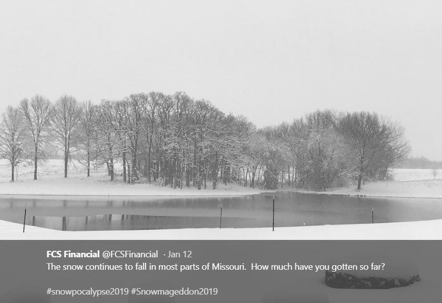
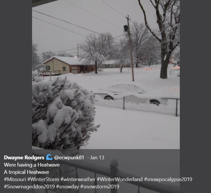
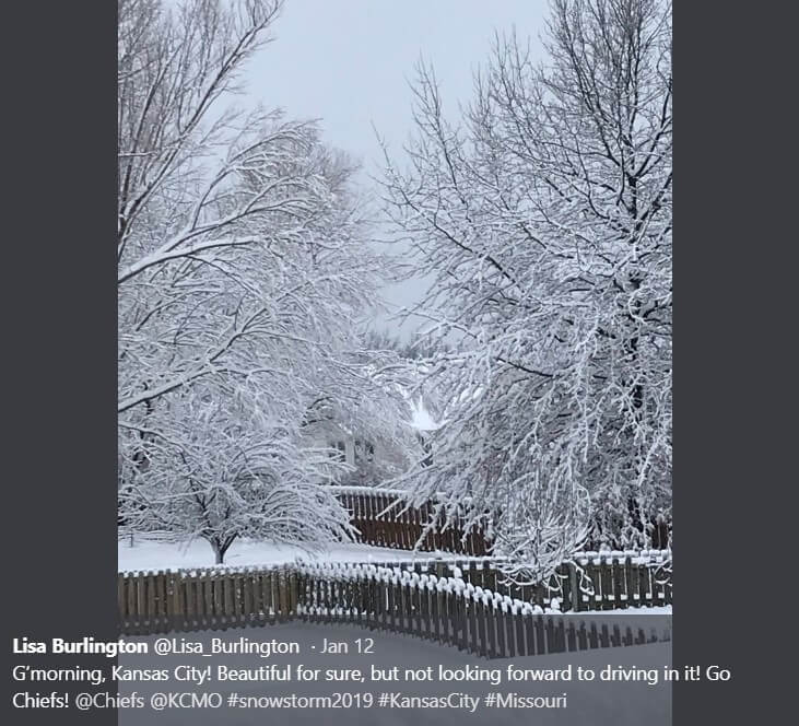
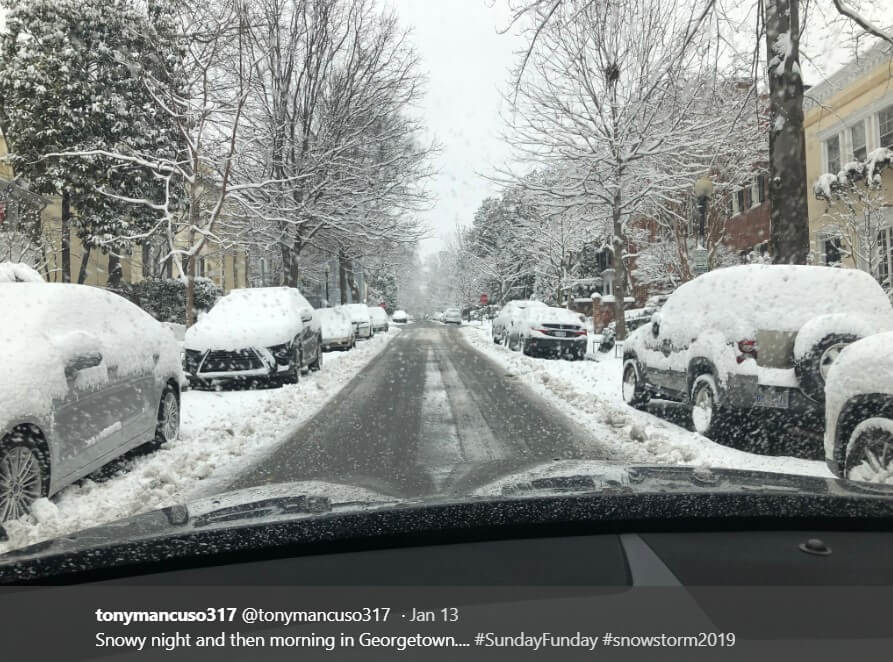
Overall, the region received 6 to 12 inches, or 15 to 30 centimeters of precipitation (slightly less in northern Maryland). The jackpot of 10-12 inches, or 25-30 centimeters, went to all of downtown Washington and its immediate northern suburbs. From west to east, the snow storm's eye area stretched from eastern Loudoun County to Montgomery County and moved into northwest Anne Arundel County.
At the airports of Reagan National, Dulles and Baltimore-Washington, 10,3, 10,6 and 6,6 inches (cm 26,1, cm 26,9, 16,7 cm) fell, respectively.
Missouri just got pounded with snow! So glad it finally feels like winter. #snowstorm2019 pic.twitter.com/ImUD0W6HZI
- Kaio (@Kaiothewolf) January 12, 2019
8,3 inches (21 cm) and 7,7 inches (19,5 cm) of snow in National and Dulles only on Sunday, set annual rainfall records for January 13.
In the National rankings, the total storm scale was measured in 10,3 inches (26,1 cm), so the storm became the ninth largest snowfall in January in the entire history of observations. In addition, it was the seventh largest two-day blizzard in the last 30 years.
Why did this happen
1. Meteorologists call this phenomenon “overtaking.”
A massive rush of arctic air in a very high pressure zone, southeast of Canada, reached America on Thursday and caused all that happened later. Part of the pressure zone began to head south, to the leeward side of the Appalachians. The cold, dense wedge of icy air remained in place until Sunday evening.
Meanwhile, a storm system was forming over the Mid-South, fueled by a powerful high-altitude vortex. As winds circulate counterclockwise around the low pressure area, the vortex began to pull moist air from the Gulf of Mexico northward on southwesterly winds. This deep layer of moisture was located above the dense, cold dome of air that covered Washington. One air mass overtook another, causing extensive clouds and then snow to form across the region Saturday night and overnight.


As a rule, this type of element causes steady, but small rainfall. In this particular case, the process further stimulated a jet of air at an altitude of 30 thousands of feet (9 kilometers). In the wind flow, foci of particularly rapid movement were observed, which caused the air to rise through the dense layers of the atmosphere, which resembled chimneys in structure.
Two such zones merged in the Washington area Saturday night and early Sunday. As a result, cloud layers concentrated their momentum into an intense band of snow, causing some locations to receive nearly half a foot of snow by Sunday morning. Much of this dynamic momentum was concentrated south of DC, where a process called "frontogenesis" (literally, the creation of a front in the atmosphere) created a band of persistent, moderately intense snow. A coastal low pressure area has also formed here, bringing more snow - mainly in the southern areas.
1-3 inches they said ... still coming down! #snowstorm2019 #bayliner #chesapeakebay #stillsnowing pic.twitter.com/hwbnZCRxMQ
- David Fletcher (@Fletch_SalesGuy) January 13, 2019
2: Snow increases on schedule
It's like a break in a sports game—it stopped snowing around noon on Sunday. But forecasters made it clear that the second act would soon begin, which happened around 14:00-15:00, adding a few more centimeters of snow to the already dense cover.
Right on schedule, the snow flakes began to fall again - and continued until the end of Sunday. During this time the storm intensified and even became stronger than in the morning. In the jackpot area (described above), this second surge was unfolding at a rate of over an inch per hour, especially in central Montgomery County.
The trajectory of this upper vortex was almost ideal for creating a surge of rapidly rising air. However, the moisture with which he had to interact, was no longer from the Gulf of Mexico, but from the Atlantic, because by that time a low-pressure zone had been created, which intensified near North Carolina.
The continuous flow of cold air was still in place, and the increasing cold caused the snow to stop. At the same time, what weather forecasters call a “vorticity center” occurred in the upper layers of the atmosphere - rotation like a wind vortex. As it approached the center of the vortex, the air was forced to rise from below.
This storm was not a classic one - Americans could see a multiphase, complex storm system that was unfolding to the maximum over the region. But weather forecasters promise a classic snow storm next weekend - keep an eye on the forecasts!
Read also on ForumDaily:
At least 7 people died in the US due to a winter storm
In the US, due to snowfall, canceled hundreds of flights
Parks, museums, airports: what works and what is closed during the shatdaun
Why you should immediately call a lawyer if you are injured
Snowmen and 'Glory to Heroes!': An unusual march in honor of Bandera took place in Kiev
Subscribe to ForumDaily on Google NewsDo you want more important and interesting news about life in the USA and immigration to America? — support us donate! Also subscribe to our page Facebook. Select the “Priority in display” option and read us first. Also, don't forget to subscribe to our РєР ° РЅР ° Р »РІ Telegram and Instagram- there is a lot of interesting things there. And join thousands of readers ForumDaily New York — there you will find a lot of interesting and positive information about life in the metropolis.


-
Personal experience: who and why you should not move to the USA5614
-
50 diseases whose presence will increase the cost of health insurance in the USA4329
-
Great opportunities with ChatGPT: 12 easy ways to make money using artificial intelligence1324
-
What should not be on your resume if you want to find a job in the USA763
-
Four unforgivable mistakes immigrants make to the United States552
-
Dependence on cars and one supermarket per city: why ours is unusual in one-story America403
-
Ten secret restaurants in the USA: what is their highlight and how to find them254
-
Personal experience: who and why you should not move to the USA5614
-
Where in the USA to buy the medicines we are used to: a list of pharmacies5330
-
How to hit the jackpot: tips from a man who won the lottery 7 times4898
-
50 diseases whose presence will increase the cost of health insurance in the USA4329
-
Street, avenue, boulevard or drive: how to understand the classification of US streets and roads1461
-
Personal experience: what not to do in America1402
-
Great opportunities with ChatGPT: 12 easy ways to make money using artificial intelligence1324